
April 23, 2024 PCSD Weekly Notifications
 April 23rd, 2024
Every Tuesday we send out an email to every employee with information from the district This email...
This opportunity is made possible by the National Geographic Society, Northern Arizona University Online, the Center for Science Teaching and Learning, and the Department of Geography, Planning, and Recreation.
To apply visit the pod stem website. Pod-Stem Website.
Teaching and Learning with Geospatial Inquiry: 22 hours – June 1 – July 5
Designing a Geospaila Inquiry Lesson: 8 hours – June 1 – July 5 or July 5 – July 30
Pedagogical Moves to Promote Geospatial Inquiry: 4 hours – July 5 – July 30
Implications for Teaching with Geospatial Inquiry: 4 hours – July 5 – July 30
Every Tuesday we send out an email to every employee with information from the district This email...

Canyon Crest would like to announce the retirement of Paula Hatch Please join us at a...
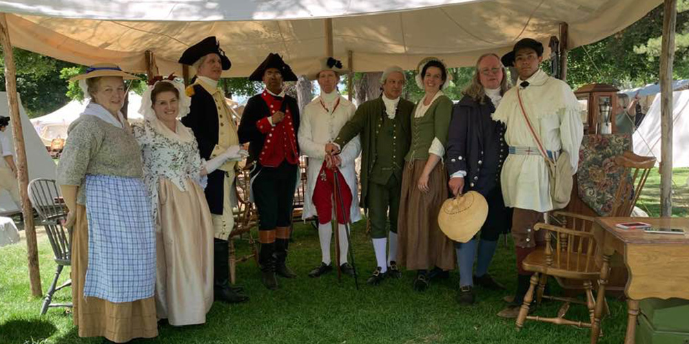
The Colonial Heritage Festival is an amazing opportunity to step back in time and be part of...

To celebrate National Teacher Appreciation Day, our local McDonald’s owner/operators have...

With summer approaching, here is a quick explanation of our summer schedule and holidays for those...

The Salt Lake Shred invites all district teachers and administrators to Educator's Night with the...